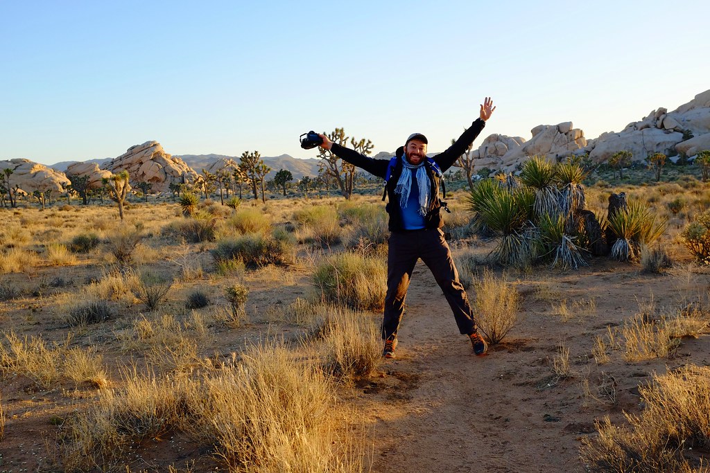
Spring is in full force in the Bay Area, and the news from Toronto speak of final snowstorms before summer is allowed to return. My mind is getting used to treating the weather as a function of place rather than time, and I’m skimming the map of California in search of a place where the weather is favourable for a week long exploration. The sierras are a close contender but many of the beautiful mountain roads are still snowed in and closed, so my sights are set on Joshua Tree National Park and the Mojave Desert.
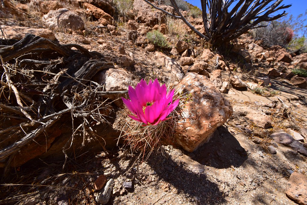
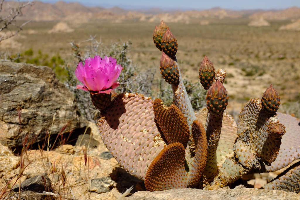
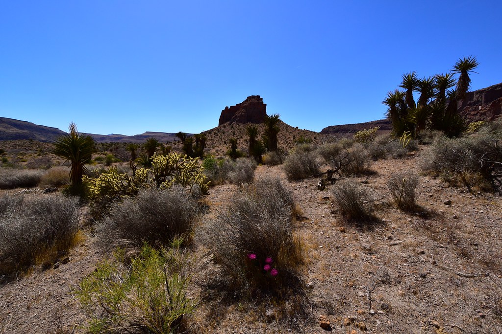
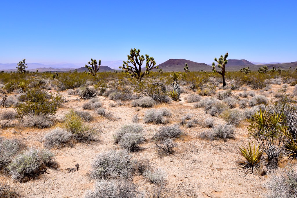
Blooming cactus in the Mojave National Preserve
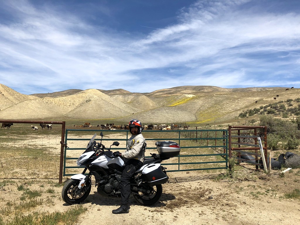
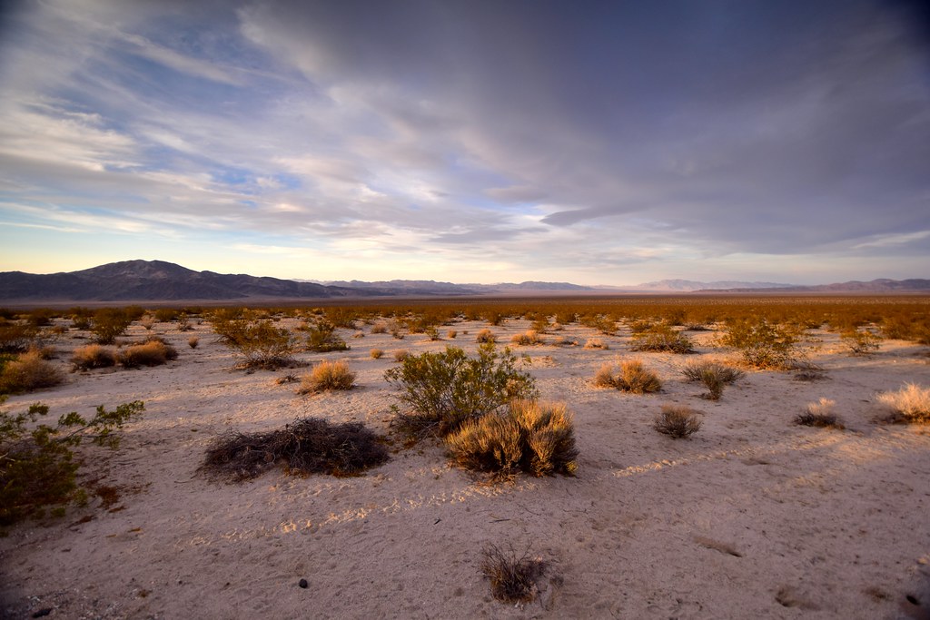
We prepared to camp most of the time, since those areas are defined by their remoteness and a certain disconnect from civilization. Saturday morning, all packed and ready, we headed south on 101. We turned off the highway for a refuelling stop in Santa Margarita, just north of San Luis Obispo, and from there on we were treated to scenic small roads only. From the moderate hills, to hotter valleys and the significantly chillier mountains of Los Padres National Forest, we marvelled at the scenery and stopped for pictures every once in a while. There were wildflowers everywhere, sometimes entire hillsides would be coloured red or yellow.
The hills are alive with the spring flowers.

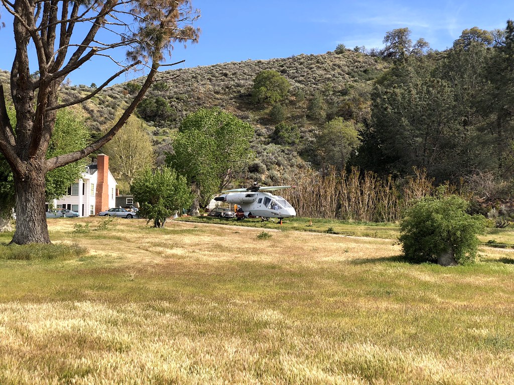
A funky helicopter parked in someone’s back yard.
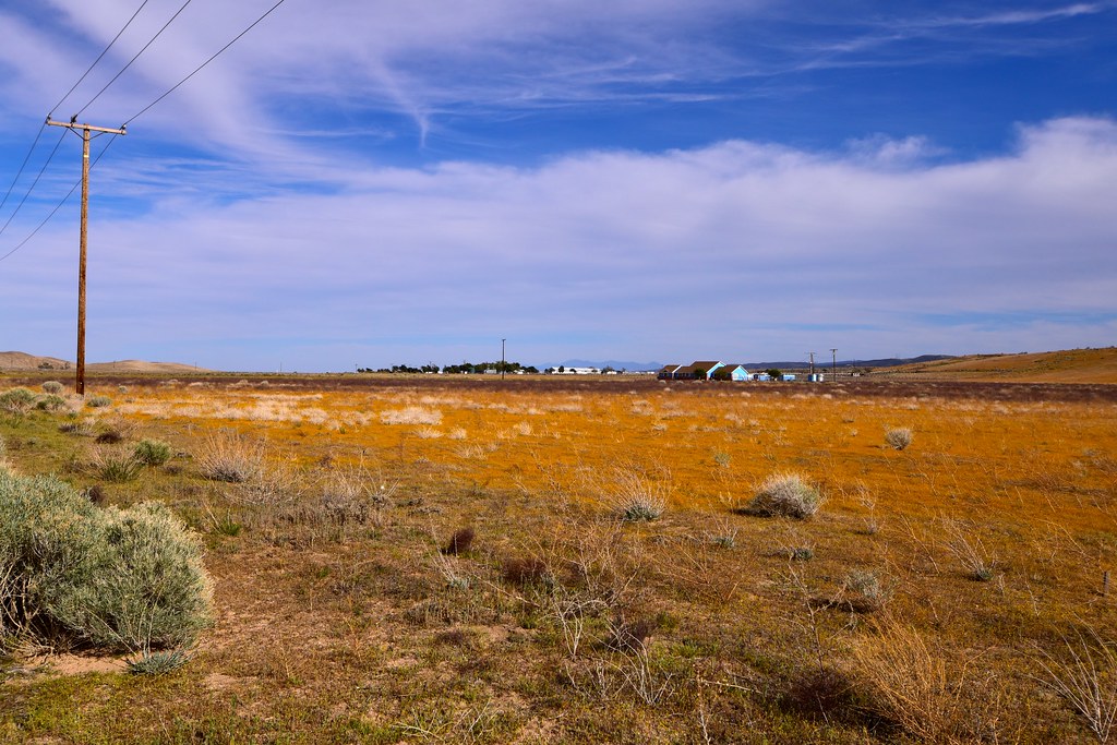
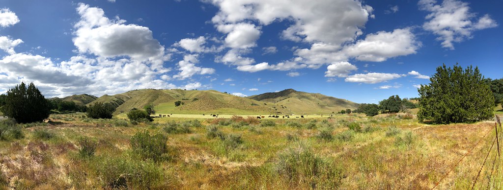
Endless fields of rural California.
We were looking forward to seeing fields of poppies in the Antelope Valley California Poppy Reserve. Yet despite the fact that we saw many poppies on our way, upon arriving we were informed there were none in the reserve. Its lower elevation and dryer conditions meant the flower season ended in March. Silly. We camped in the Saddleback Butte State Park, facing the sunset, with a few large Joshua trees to complete the picture.

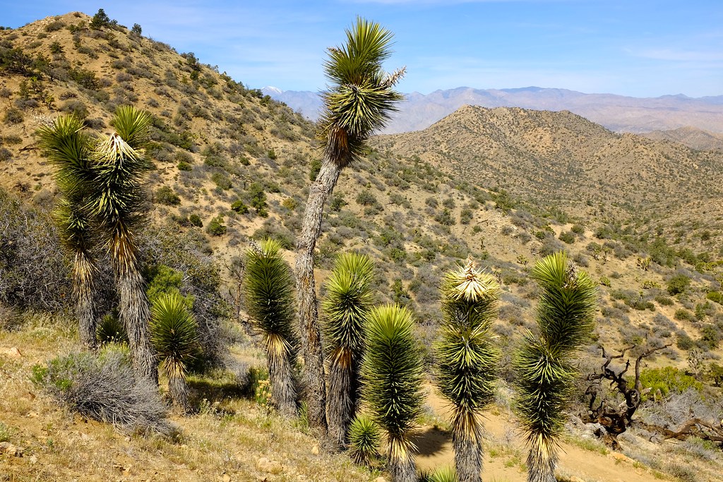
The first Joshua trees.
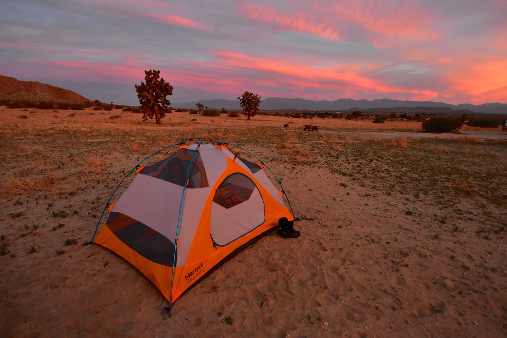
Our campsite at sunset.
Another group that camped nearby was playing some very pleasant music that was perfect for quiet reflection while enjoying the sunset, although they did get a little annoying at 3 am.
The following morning we tried to get out before the heat of the day arrived, but soon enough it caught up with us.

Just an airplane cockpit in the middle of the desert.
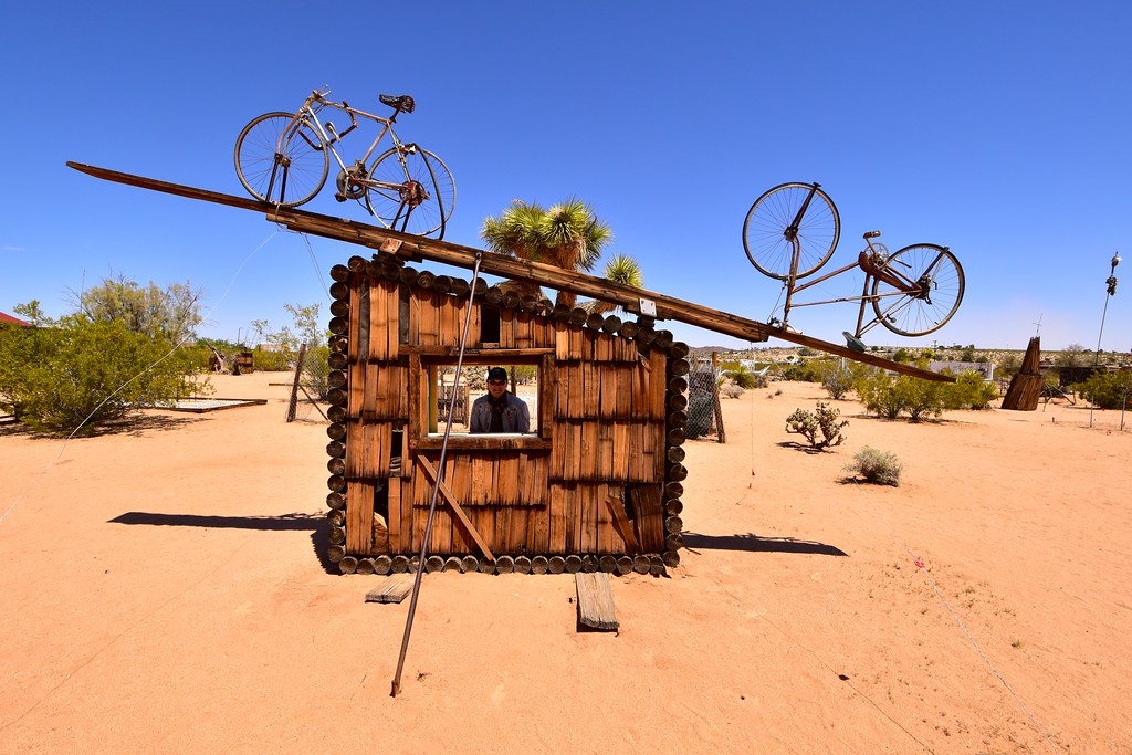
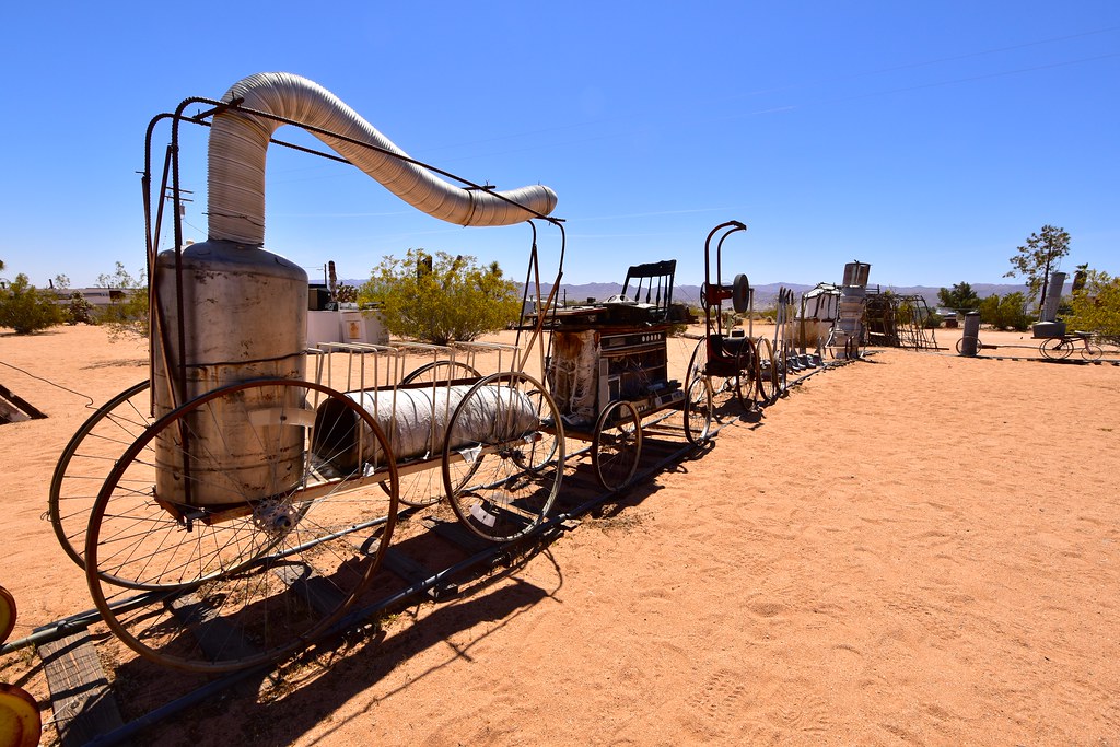
Along the way we explored Elmer’s Bottle Tree Ranch, which is just the sort of thing one finds in the desert.
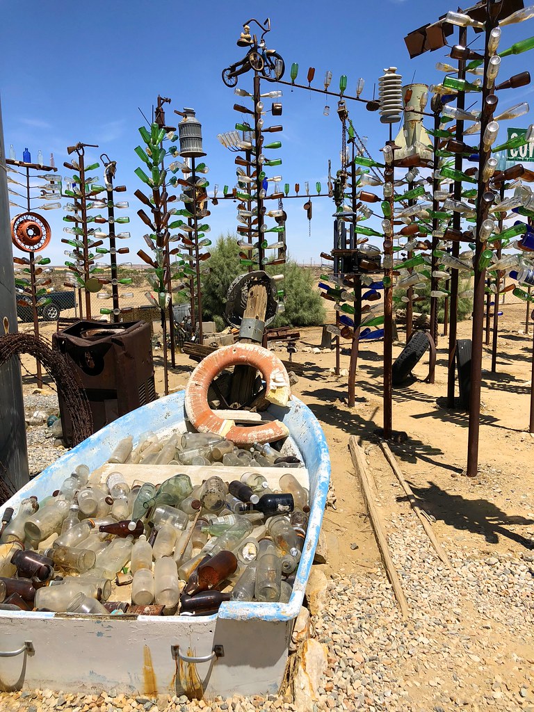
The bottle boat heading into bottle trees.
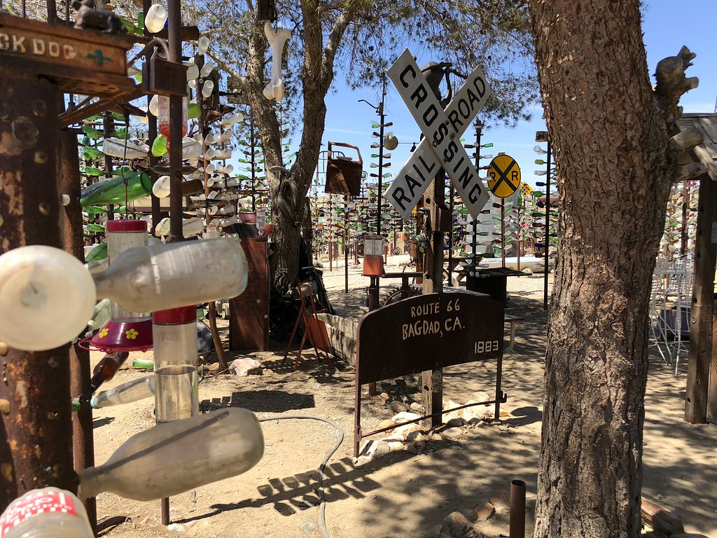
Also featured: a multitude of random road signs, and hummingbird feeders.
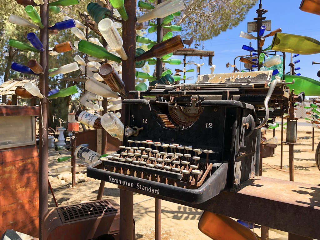
A variety of antiques accessorized the bottle trees, such as this old typewriter, an old rotary telephone, a wood burning stove and even a missile shell.
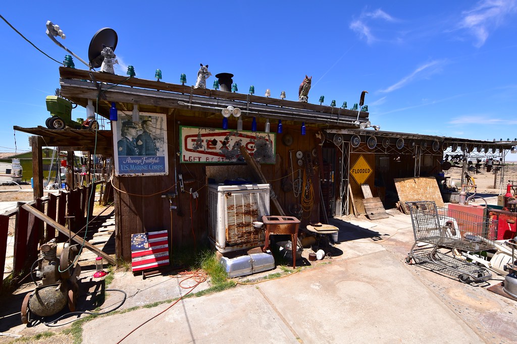
The house looked like it was in use, perhaps Elmer himself is inside?
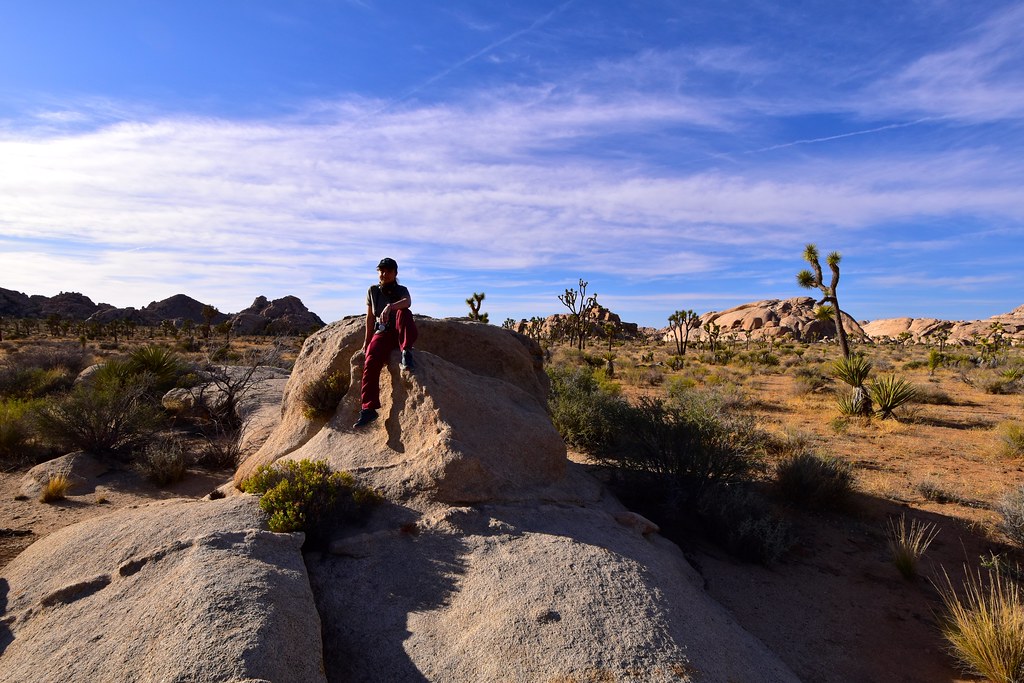
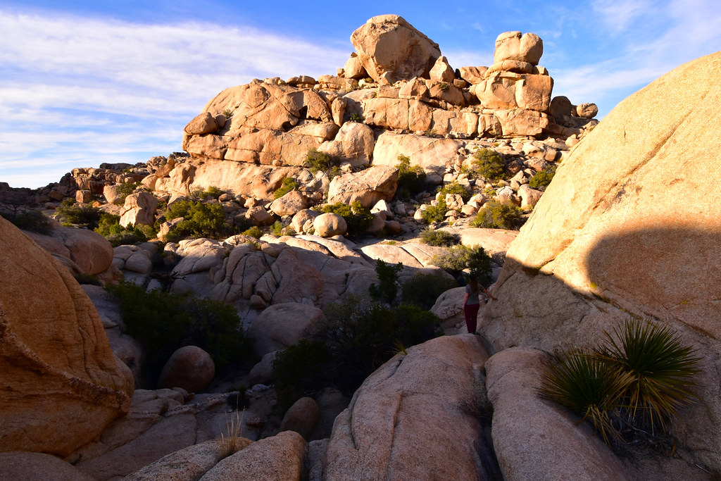
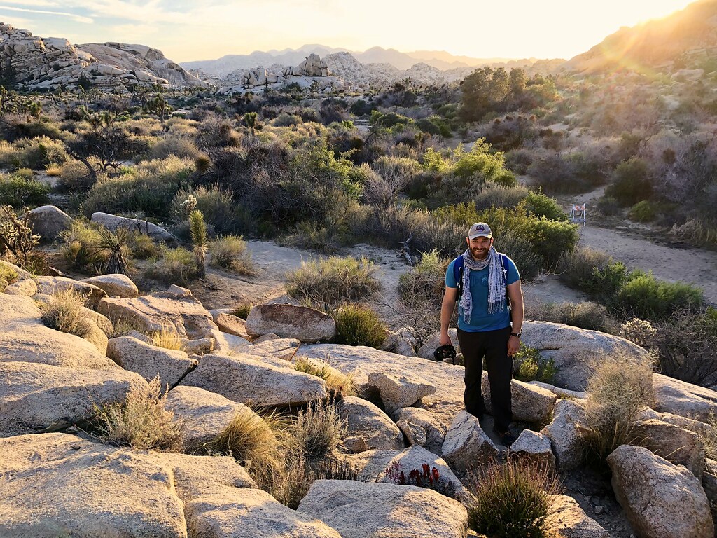
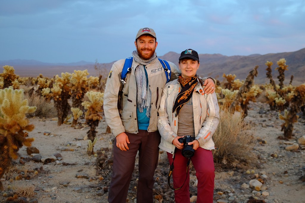
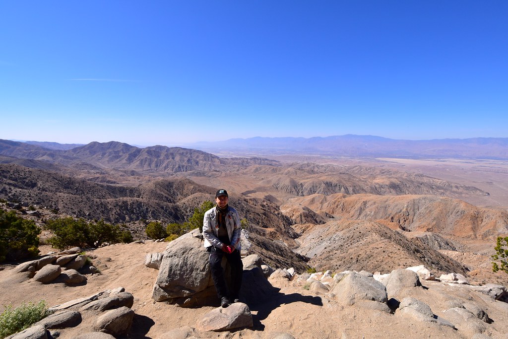
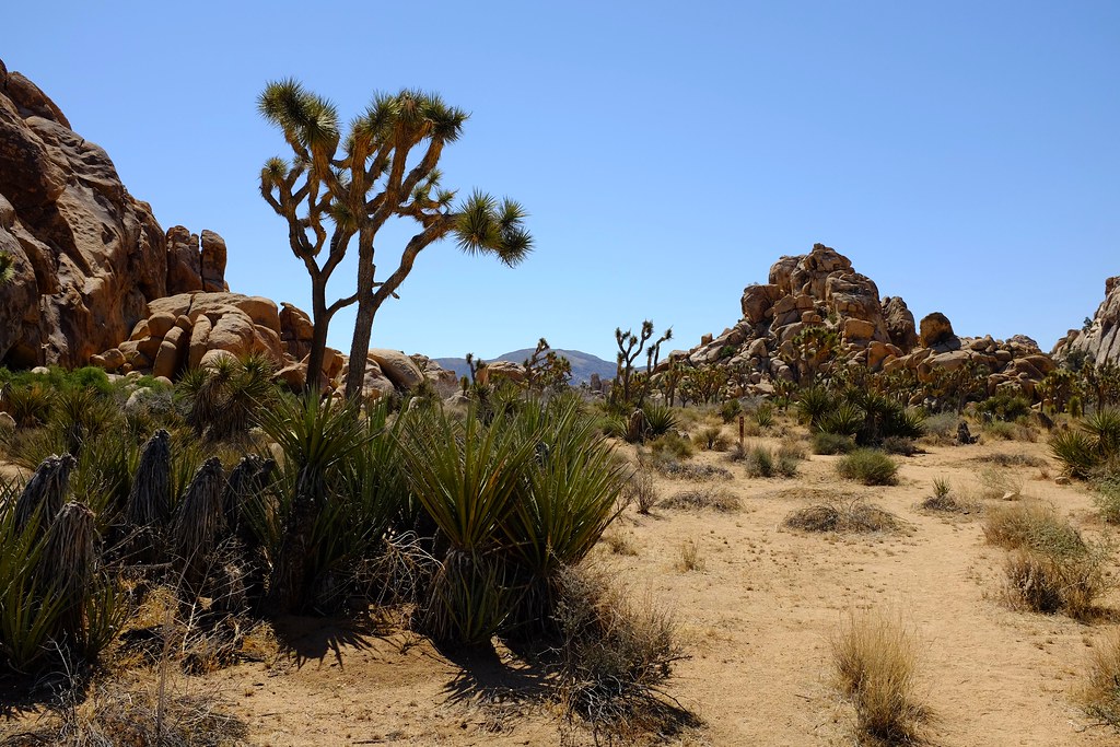
We got to Joshua Tree National Park mid day and found plenty of camping spots in Hidden Valley. Picked one, set up tent, unpacked a few things, realized how hot it was, moved the tent into shade and dozed off for an hour or so while the heat wore off. Got up, realized that some critter nibbled on 2 of our 3 bananas that we left on the table (in a bag, but it didn’t matter), ate the one untouched banana and went out for a hike to Barker Dam – enough trails pass through the campground that we didn’t need to ride anywhere.
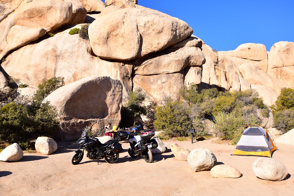
Our basecamp for the next 3 days.
A trail near the Hidden Valley campground.
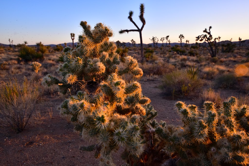
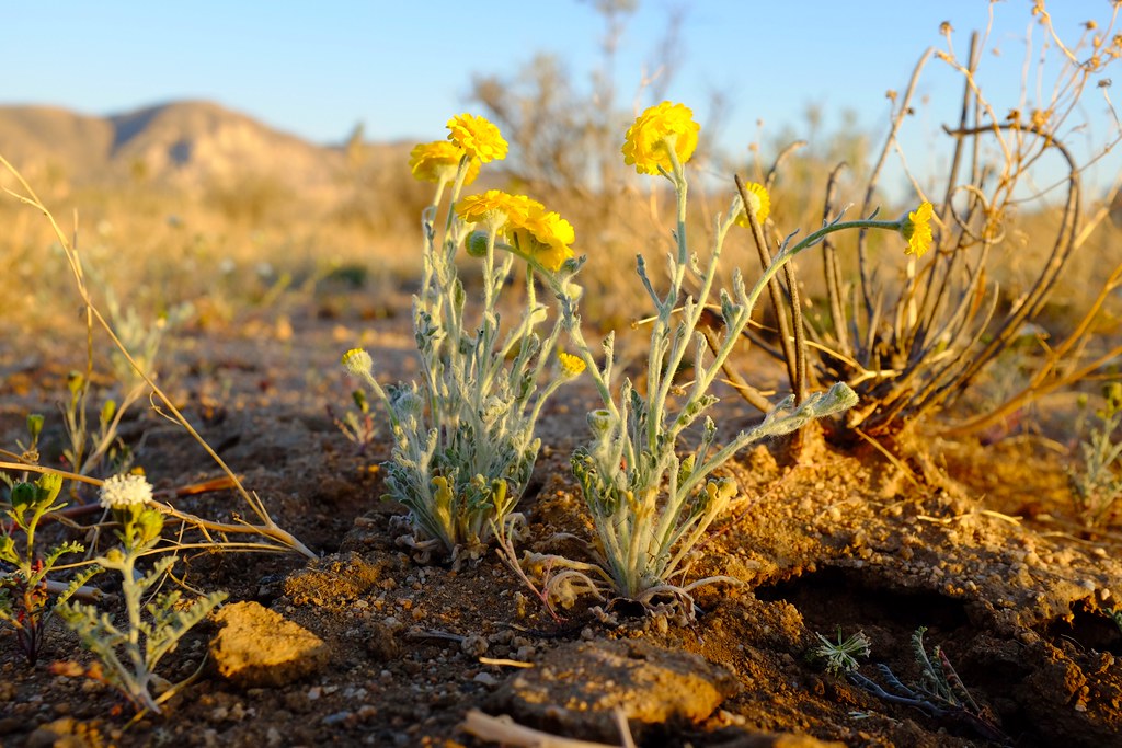
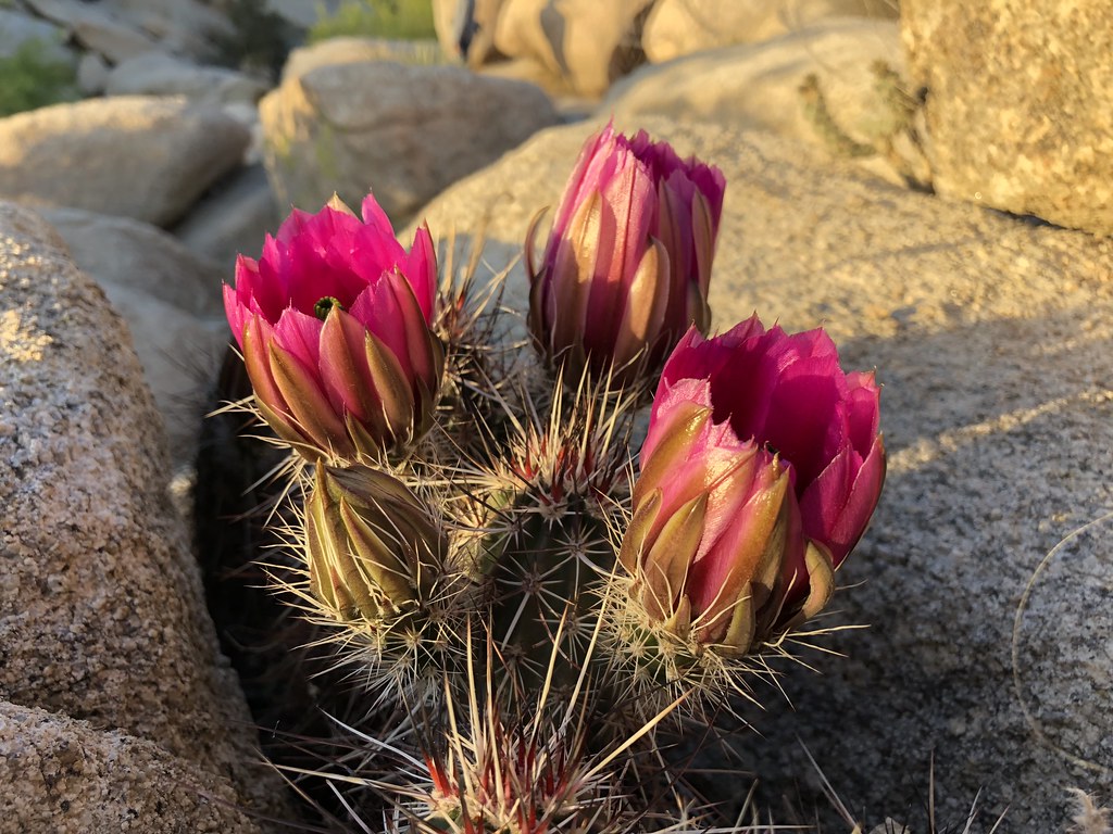
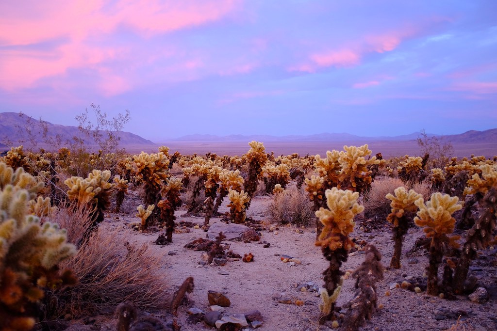
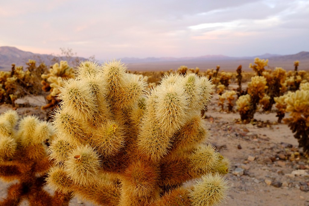
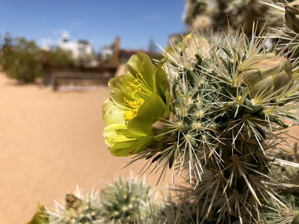
This is where we saw the first blooming cacti of the trip. Most of the desert landscape is quite monochromatic, dominated by the brown shades of dry plants and rocks, sometimes elevating to pale greyish green, with the only contrast coming from the intense blue sky. And then it hits you. Fiercely pink and red, these flowers demand immediate attention. We oblige.

The unexpected splash of red in the middle of the desert.
Alex noticed a bird nest in a cholla cactus. Apparently cactus wren is a bird that tends to nest in these fortresses.
Notice the bird’s nest in the cactus. On the way back we actually caught the bird sitting in there, but by then it was too dark to take photos.
Cacti are not the only things that bloom in the desert.
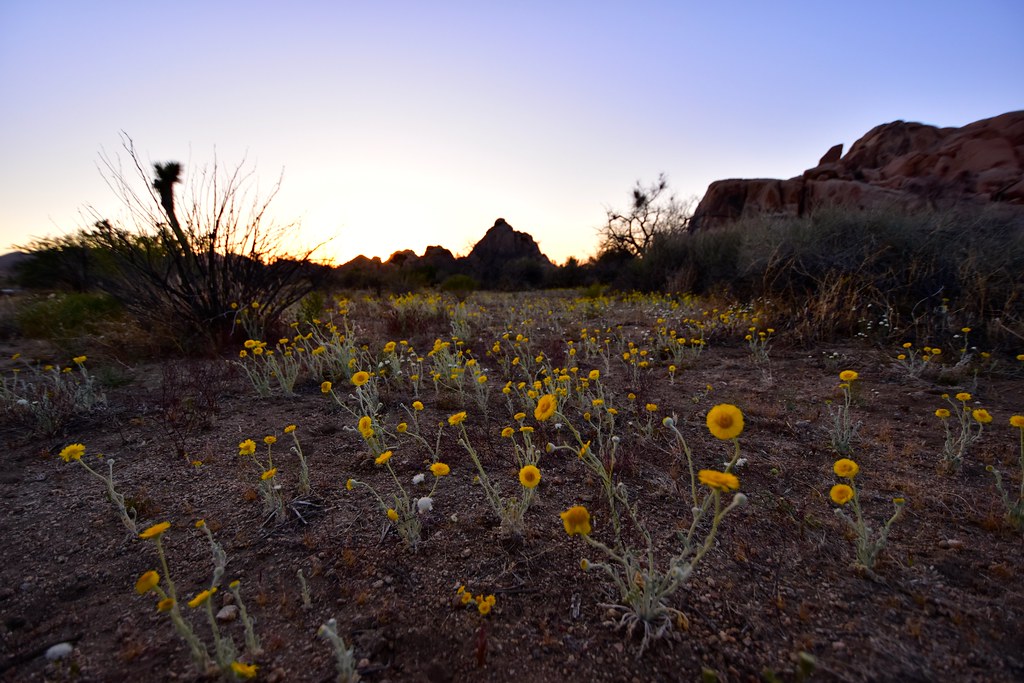
A field of desert marigolds in the fading light.
As we headed back from the dam it was already dark, but somehow it was not difficult navigating in the desert at night. Lots of open space, a bright moon and perfect temperatures make it an excellent time to be out.
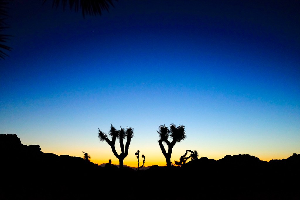
Last slivers of light hug the joshua trees.
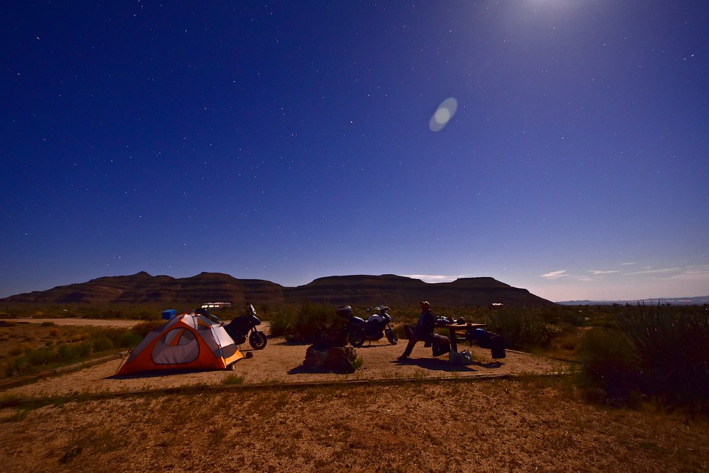
Back at the campsite we made dinner (it only required boiling water to rehydrate the freeze dried meal and make tea), and just relaxed with the nighttime views of the valley in front of us. No cell service, no wifi. My star charts told me the Milky Way would come up around 2 am, so I set an alarm to wake me up at that time and we went to sleep. When the alarm did wake me, by buzzing softly on my wrist watch, so as not to bother other campers, it was much colder and instead of coming out of the tent I just burrowed further into my sleeping bag, figuring I’ll try again next time.
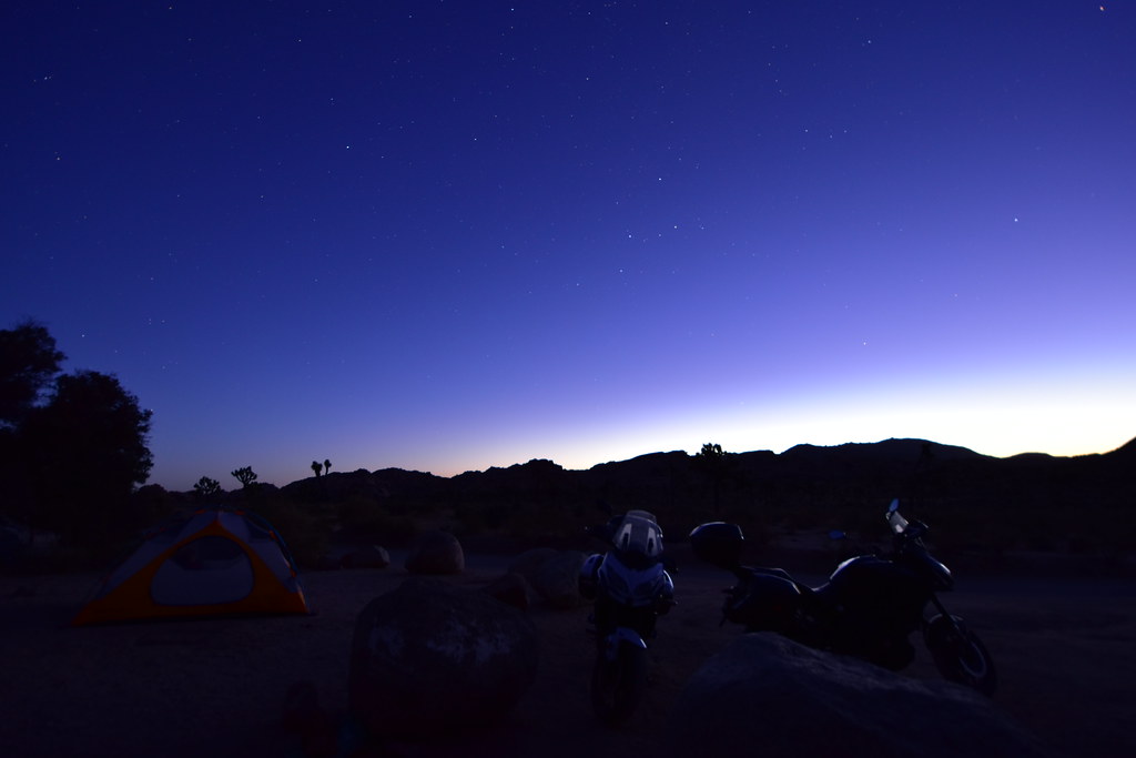
Dawn at our campsite
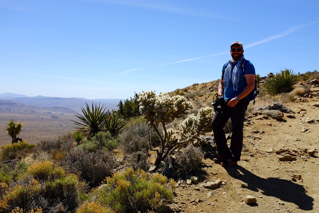
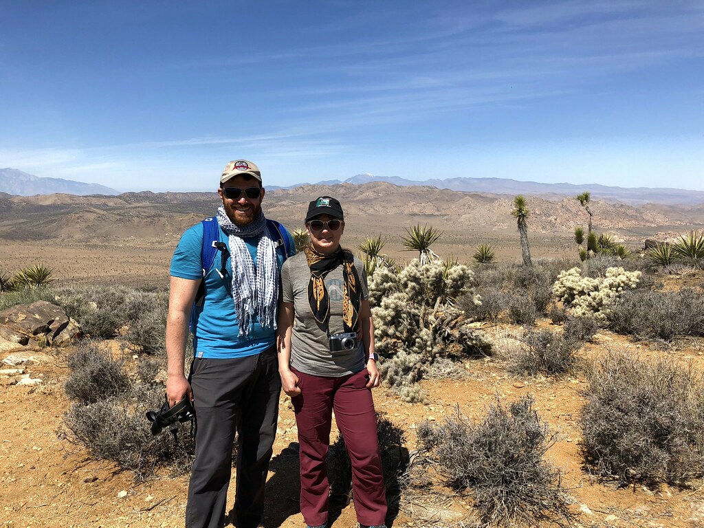
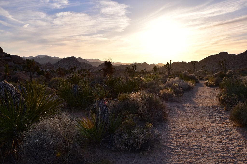
On Monday we decided to hike the Ryan mountain, so we loaded up with plenty of water and started at the early hour of about 9 am. It’s not really early by desert standards (the sun has been up for 3 hours), but quite early for us. The hike is 3 miles round trip, gaining and losing 1000 feet of elevation. The views got progressively wider as we rose to the summit, where the breeze cooled us off and the 360º views were something to savour. A funny thing happened here – most of the people on the summit were glued to their phones, and they were not taking photos. Oh, the miracle of cellular reception. We exchanged a few messages with friends and I noticed that on my work group chat people were discussing their weekly meeting. The thought of them hard at work in their fancy offices made me smile a little. I turned my phone to airplane mode, and we proceeded to discuss more philosophical matters as we gazed off into the landscape in front of us.
Views on the ascent up Ryan mountain
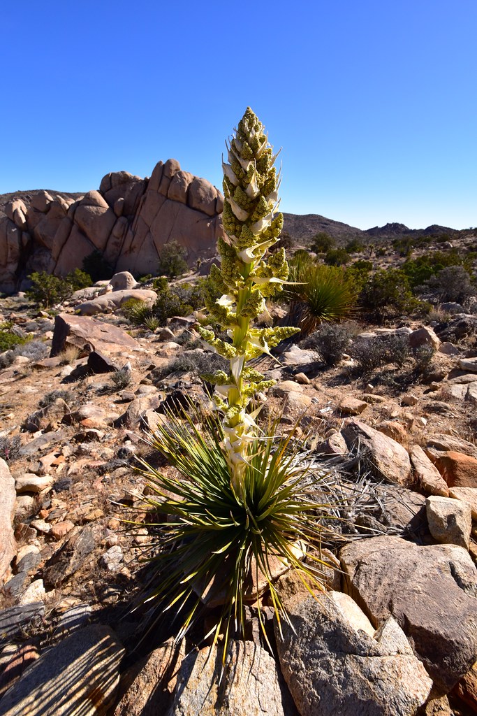
Yucca plant. The flowers and the fruits have been used as food by the nomadic people that lived here centuries ago.
Hiking up Ryan mountain
The trail keeps going up steadily, straightening out only at the summit
This gorgeous cactus is known as the beavertail pricklypear

Detail of the beavertail flower
Ryan mountain summit
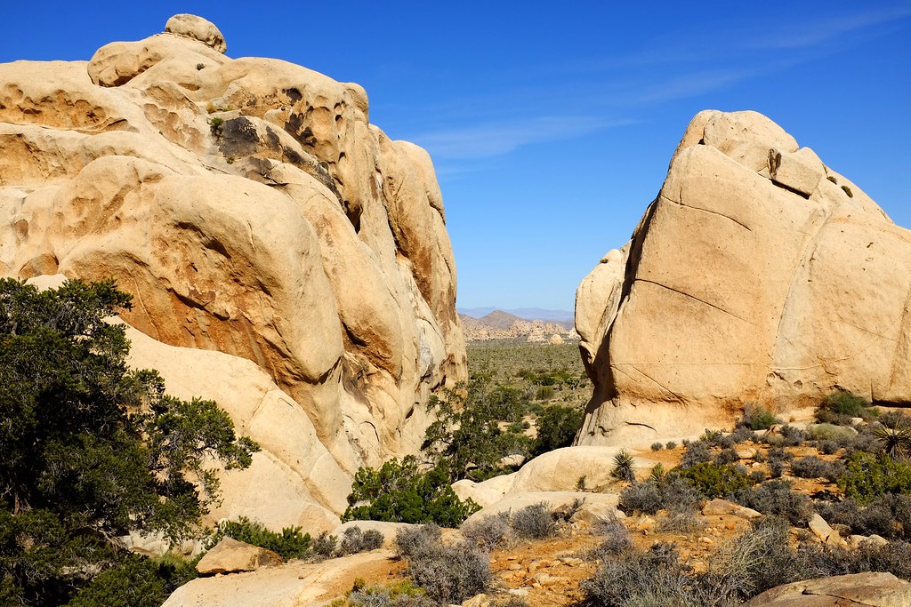
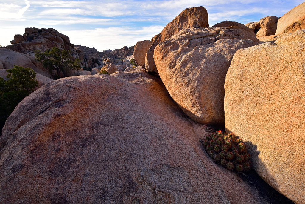
We returned to camp for a few hours of rest in the shade, and then revisited the Barker Dam with more light to spare this time. The landscape in this part of Joshua Tree essentially comes in two types – the flat sandy desert floor, and the weird huge rocky outcrops. They call this area the Wonderland of Rocks. To get to the Barker Dam you have the option of including some mild rock climbing into your route. There are trails, but I was pretty sure I was heading off trail. Regardless, we decided to take this uncharted route and see if we can get down on the other side. It worked out fine with just a couple of detours, but we were also gifted with a sight of a rattlesnake resting in a corner near a blooming cactus. It was all coiled up and although it seemed very aware of us, it did not care enough to move or show neither signs of aggression nor fear.
Trails near Barker Dam.
Completely innocent rocks harbouring a completely innocent snake.

It’s a rattlesnake and a blooming cactus in one shot.
This is not a trail, but it doesn’t matter.

Finding the way through.

The valley is so vast once you pass the rock outcroppings.
This place is pure magic in any light.
Hedgehog cactus flowers.
At the dam everything looked a lot less like a desert, with bright green trees harbouring many different birds and other animals. There were even ducks with tiny ducklings swimming in the water.

The oasis of the Barker Dam.
Climbing around the dam. The faint trail on the right is the dry riverbed fed by the dam during rainy season.
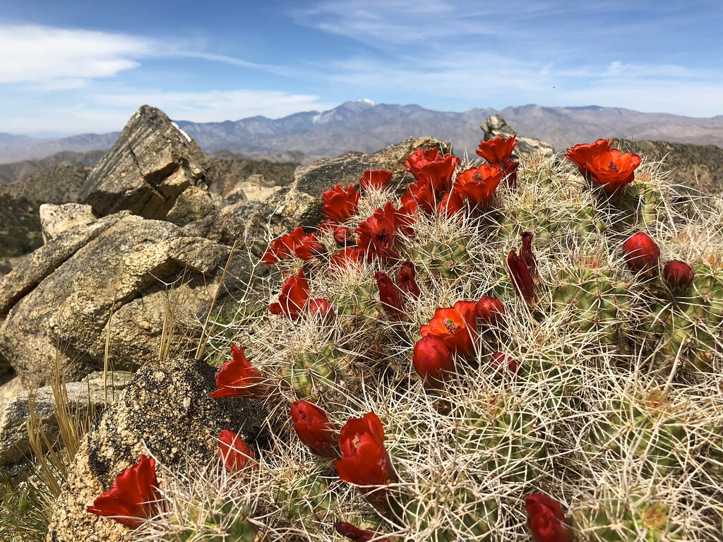
The following day we decided to explore a different part of the park and headed to Black Rock Canyon to hike the 6.6 mile Panorama Loop Trail. It peaks at 5100 ft, with the trailhead at 4000 ft. After meandering in a sandy wash, the trail gets to a mountain ridge and becomes absolutely amazing. The views are terrific and the cool breeze on the exposed ridge keeps the heat away. At the highest point of the trail there is an unofficial offshoot to go just a little higher to the summit of this mountain. Aside from the inspiring 360º views there was another surprise – a cactus in full bloom. As I got to it, I discovered a small plastic can with a notebooks and a pencil – a sort of visitors log. With the log signed and the cactus thoroughly photographed, we continued on.

Southern Desert Horned Lizard along Panorama Loop Trail
Yucca plants lining up along the ridge.

The ridge of the mountain was one of the most rewarding hikes in the park.
The very top of the trail. The snow capped peak in the distance is Mount San Gorgonio, the tallest in the area.
The panoramic view of the Panorama trail.
The Mojave mound cactus at the peak of the trail.
On the way down we met a family heading the opposite way. They were from Europe and at the beginning of their grand American vacation (I overheard them in the visitor centre earlier). Alex gave them a tip to climb up to the top for the cactus view, which the adults were enthusiastic about, but one of the kids proclaimed “So… That means we aren’t going there” after hearing that it’s a little off the main trail.

One of the most memorable Joshua trees in the park – it’s huge, remarkably symmetric and grows right in the middle of the trail.
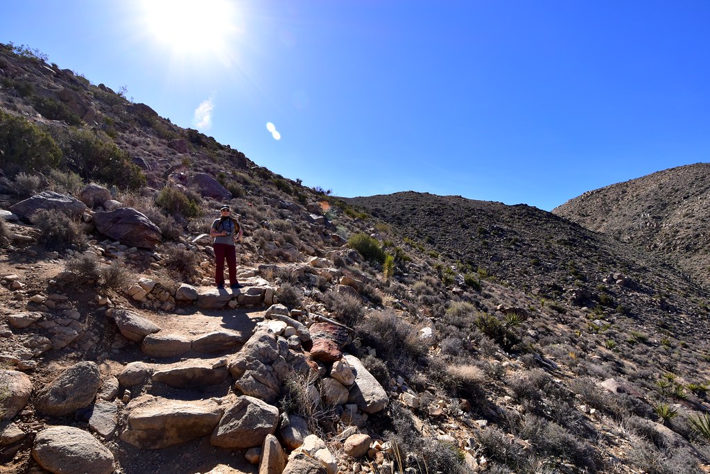
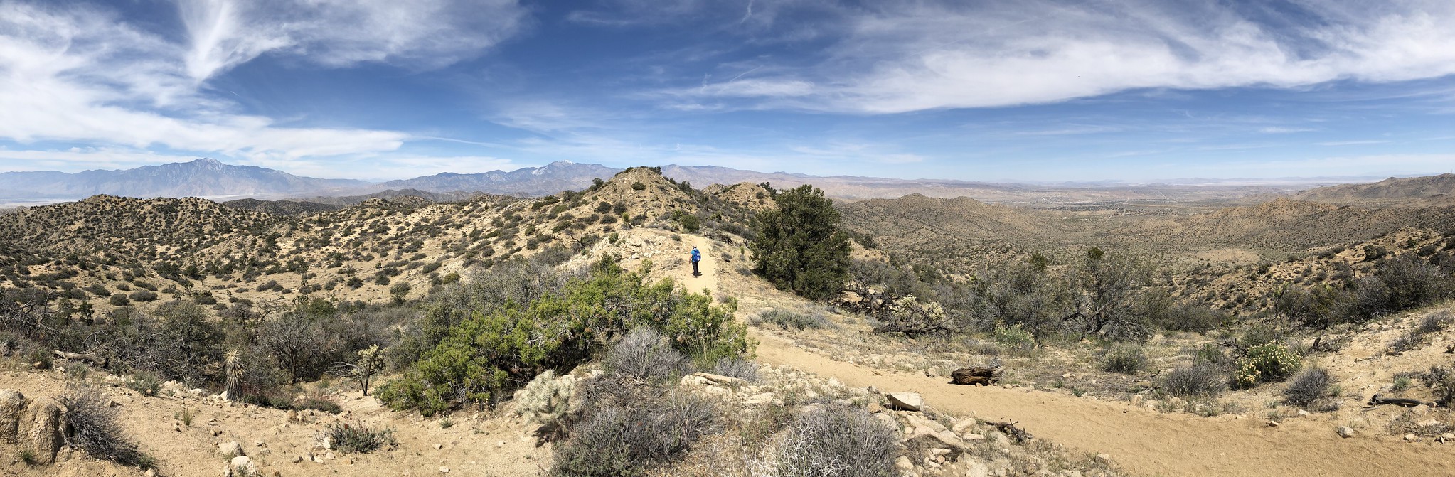
We enjoyed the hike and upon reviewing the maps at one of the junctions we realized that we can extend it further by taking a different turn and climbing the Warren Peak. This was another climb to about 5100 ft, but we had plenty of water left and figured lets keep going while the going was good. The ascent was steep but once at the top, it was also very beautiful. Now, the official park maps mark this as an out and back trail, but on Google Maps this continued as a loop leading back to the trailhead. Naturally, we kept going further. The trail was easy to find and in the same overall condition for a while, but after some time it turned into a narrow goat path. As I checked the GPS I saw that we were not where Google marked the trail, but no matter. There were clearly more trails in the area than any single map will tell you. We kept going and eventually rejoined one of the official park trails. Many cacti and lizards were observed and photographed in the process.

This trail was even less travelled than the previous – and no less panoramic.
Back at the visitors’ centre we chatted with a lady from San Diego who was going to move to Joshua Tree. Apparently this region is being “discovered” more and more by the folks from the coast who are tired of traffic and the high costs of living. The upside is that the towns in the vicinity of the park now have quite a few decent places to eat. We had pizza in a hipster music-themed joint in Yucca Valley and although I’m sure true Italians would not approve of things like putting sriracha sauce on a pizza, I was actually very impressed with how well it turned out, both the flavour profile and the texture of the crust. We spent the rest of the hot part of the day chilling in the pizza place, and then took a ride through the east side of the park.
One of the unique things in the park is the Cholla Cactus Garden. 176,000 cholla cactus plants cover the area of only about ⅔ of a square kilometre. Although they are present elsewhere in the park too, here they share the space with few other plants and the high density makes the landscape truly remarkable.
Sunset in the cactus garden
They refer to these as “teddy bears”.
Strolling around the garden.
Pinto Basin, at the south east side of the park.
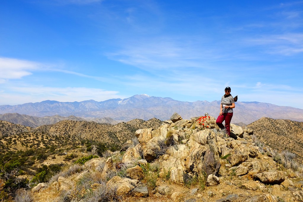
The following was our last day in Joshua Tree. We took one last glimpse of the park at Keys View, where Alex did some trail clean up.
Key’s View. It’s a nice view but some people leave empty beer cans around.
The stereotypical Joshua Tree landscape.
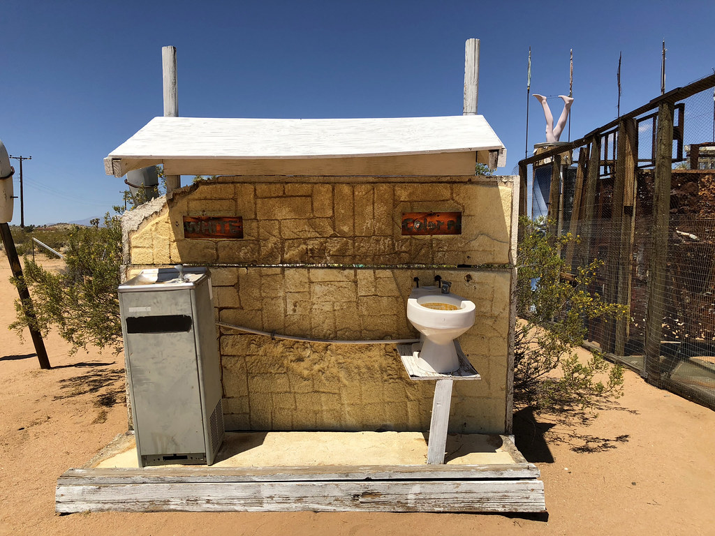
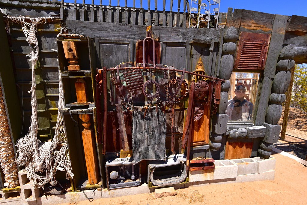
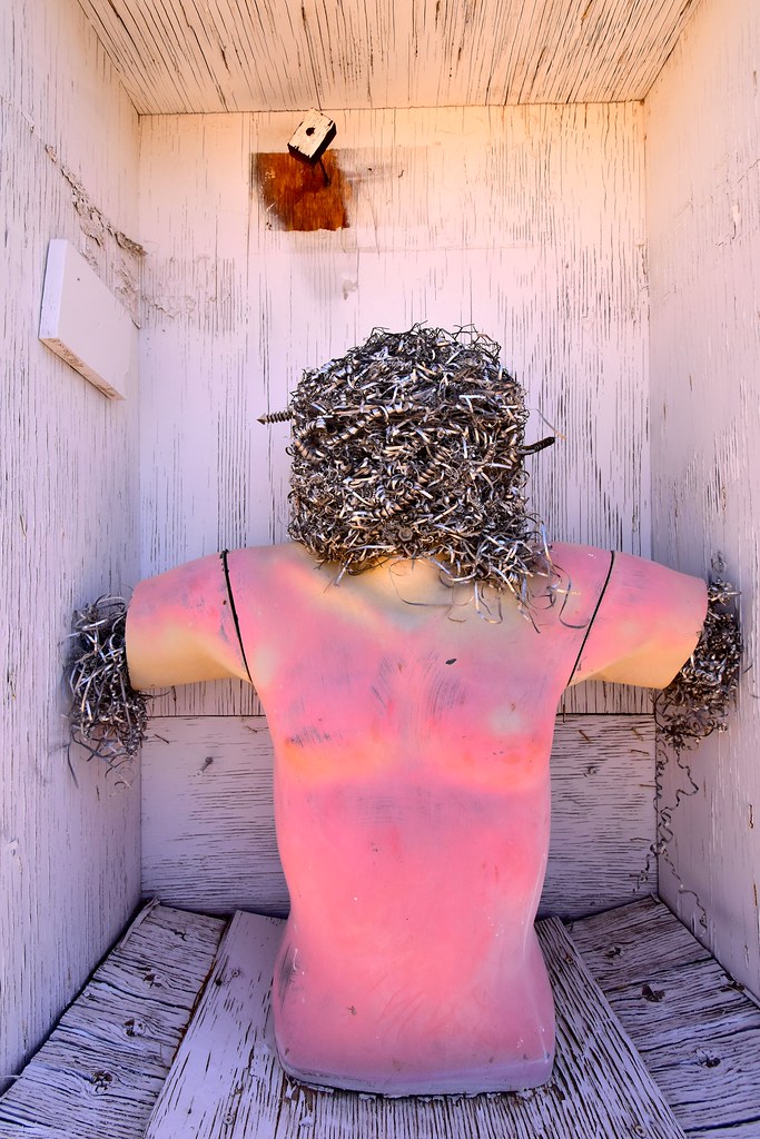
The desert here is known for art as much as it is known for its natural wonders. We visited Noah Purifoy Desert Art Museum in Joshua Tree (the town), perhaps one of the most high profile ones. The sculptures are all made of discarded materials, installed outside and free for everyone to explore. They made me think of purpose, the fleeting nature of these pieces under the intense sun and wind, the uncontrolled effects the desert environment plays as a co-author to them. As for the purpose, reading more from Purifoy later, I stumbled into this explanation:
“…so, seeing and hearing about art should inspire people. Not to do art, or to understand it for that matter, but to look at a piece of work and sense the effort that went into it and hopefully be encouraged to go home and … this is one of my little sayings… do today what you could not do yesterday…”
Noah Purifoy

Part of the piece entitled “Carousel”.

Part of the piece entitled “Carousel”.

And one more part of the “Carousel”.


Cholla cactus blooming in the museum.
Lunch in Joshua Tree.
The rest of the day was spent relaxing in a hotel in Twentynine Palms. We spent a bit of time in the pool and had some delicious middle eastern food in a local restaurant. Despite being a desert, this place gets all the agricultural goodness from the rest of California.
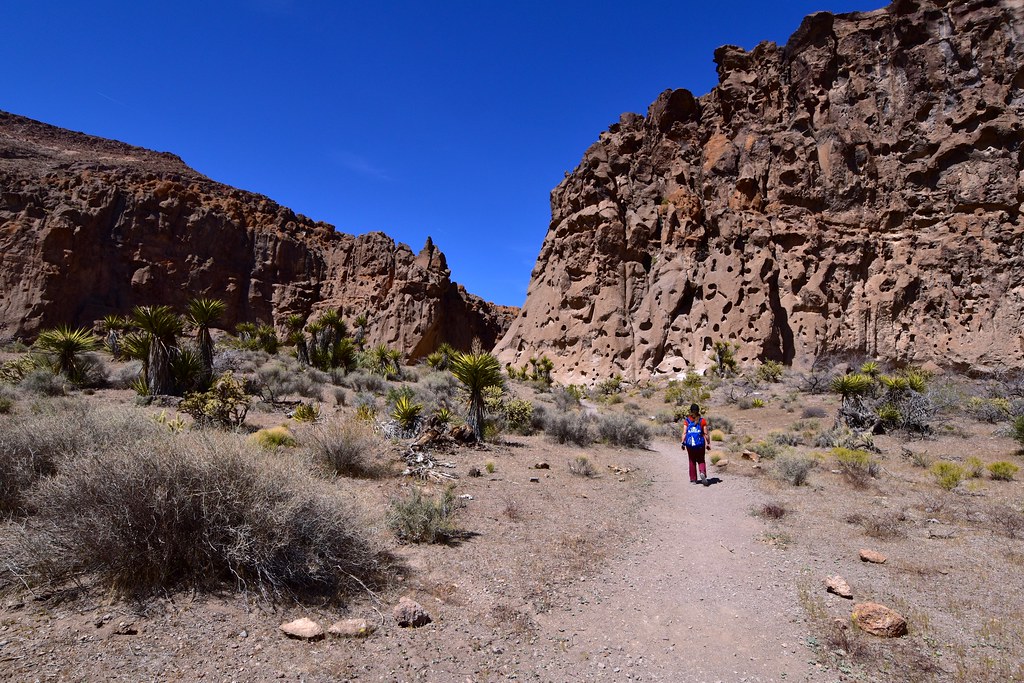
On Wednesday we headed out to Mojave National Preserve, but not before running all around town looking for denatured alcohol for our stove, which was surprisingly hard to obtain. Once in Mojave, we set up tent in the campground and went out for a short hike though the surreal rock formations that give this spot its name – Hole In The Wall.
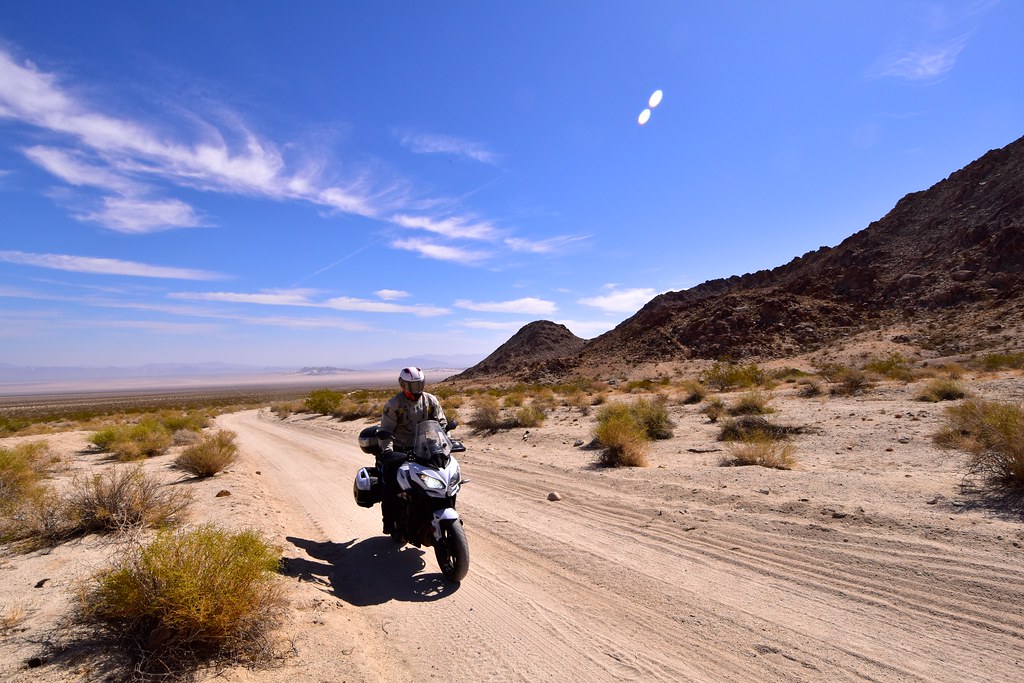
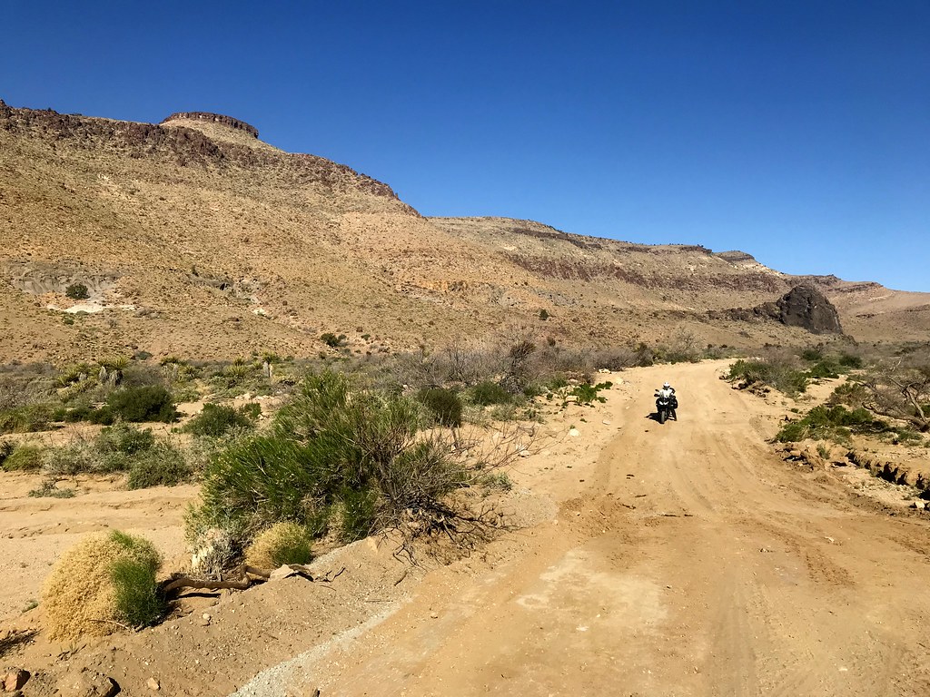
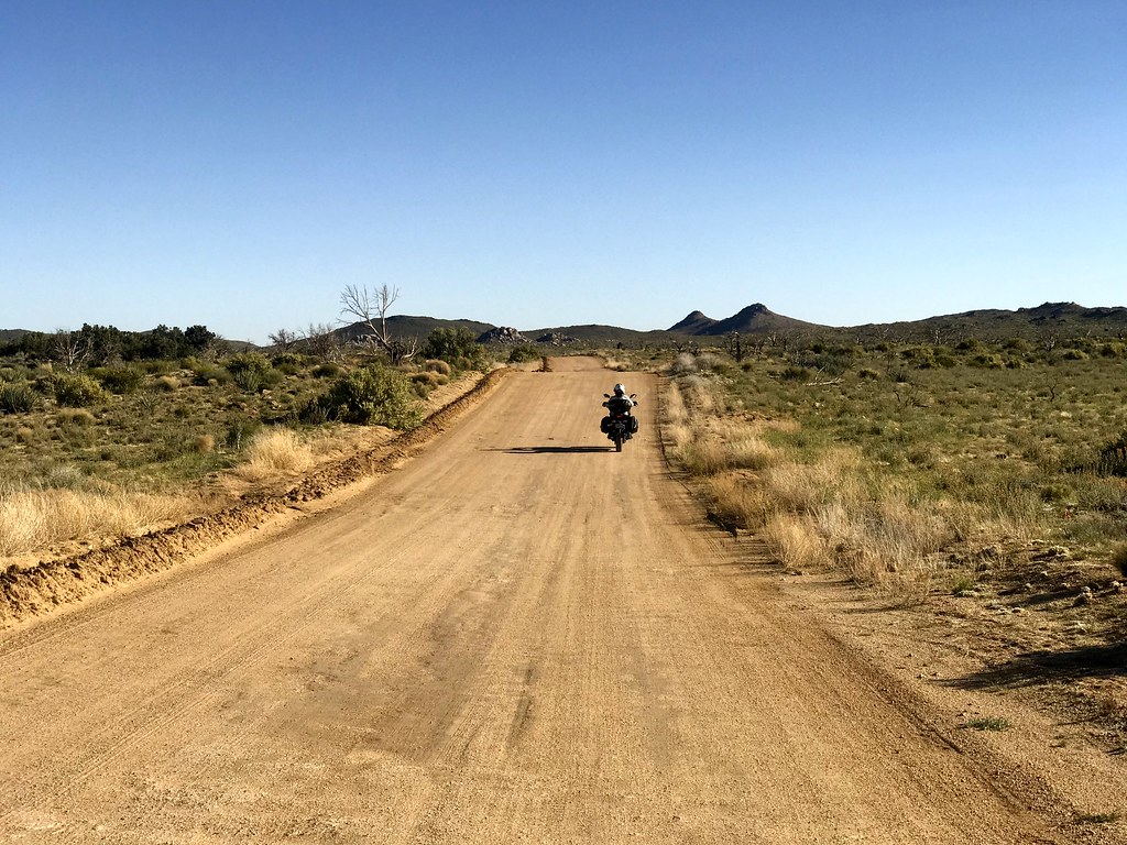
Mojave desert road
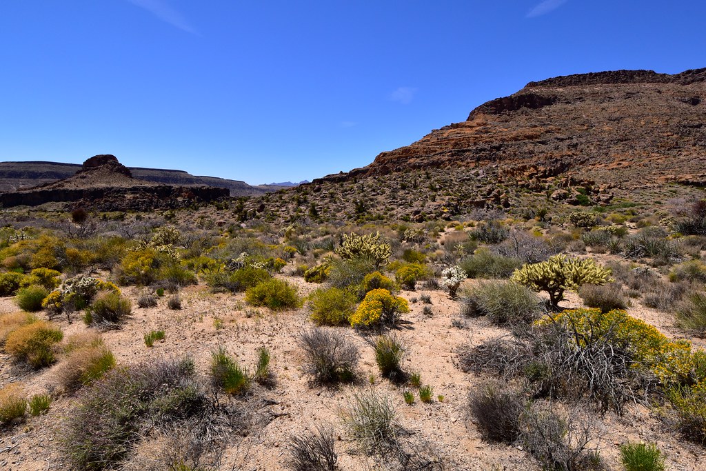
Views near the campsite.

Studying the petroglyphs along the Rings Loop Trail.
The holes that give name to the walls.
Rocks, cactus flowers and yucca plants. Typical Mojave stuff.
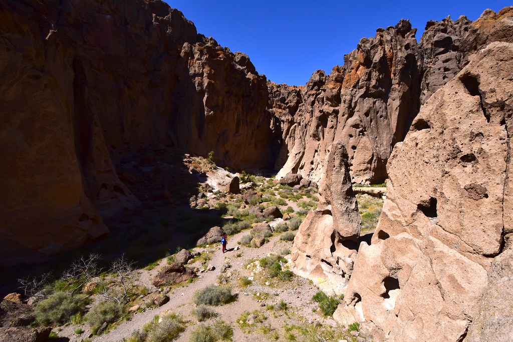
The trail heads into a very narrow, almost claustrophobic canyon.
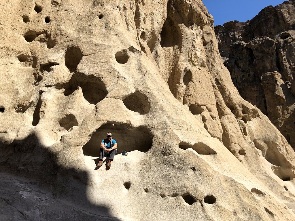
The stone is volcanic and continuous erosion leads to some interesting climbing opportunities.
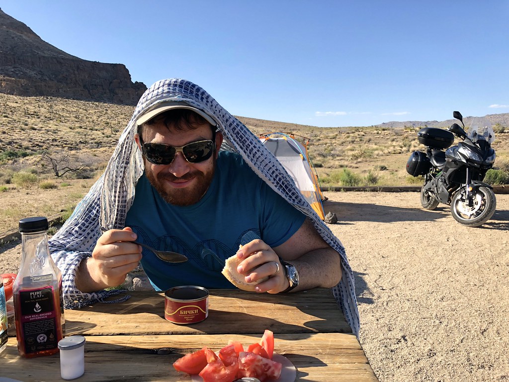
Too hungry to wait for water to boil, so we just enjoyed the canned goods.
The full moon lights up the night. The evening was quiet, but the night very windy, thoroughly testing our tent’s integrity.
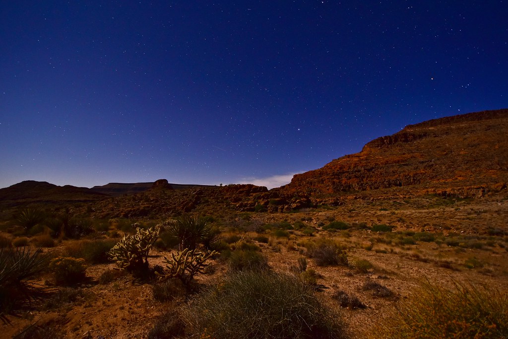
Stars above, lizards below.
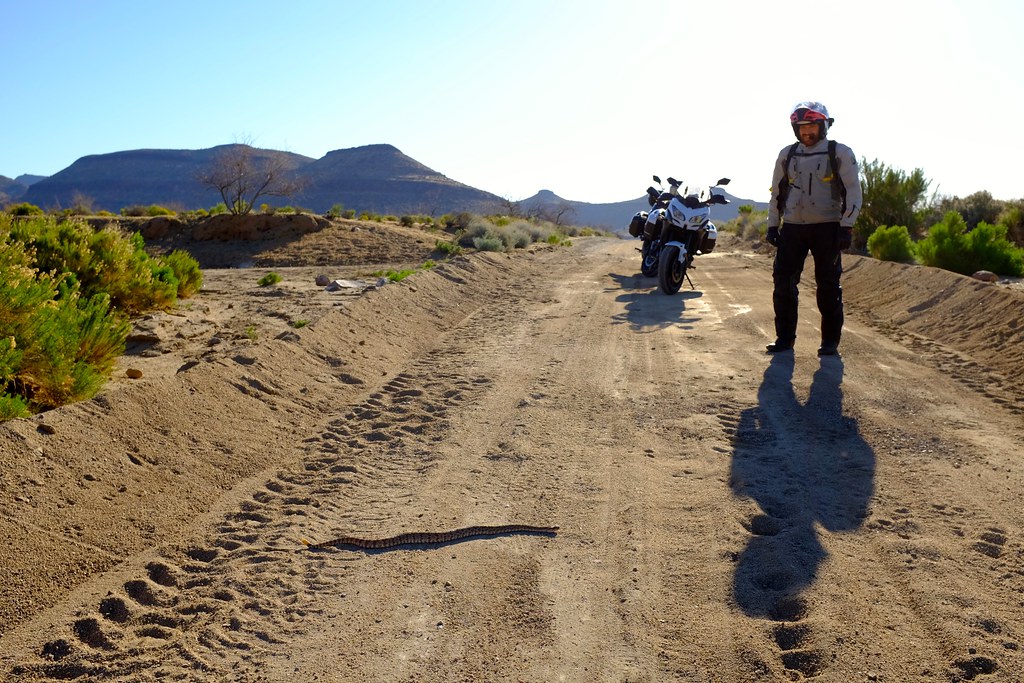
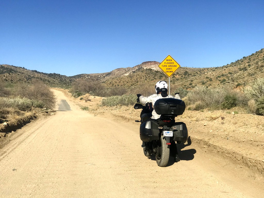
In the morning I found that half the tent was essentially resting on top of me – blown by the continuous winds. It did not break, but just bent down a lot. After breakfast we went for a ride, sampling a little bit of the dirt roads, meeting a rattlesnake, but ultimately coming back to pavement when we realized we need off-road motorcycles for that kind of terrain (I realized it sooner than Alex did). Rode up to Kelso dunes, hiked there for a bit, but not to the very top. 11 am was already too hot to be outside. Had lunch in Baker, in a nice Mexican restaurant instead of the terrible stuff that passes for Greek food in this town. I was amused that its name, Los Dos Toritos means Two Small Bulls. I didn’t even need a dictionary.
Why did the rattlesnake cross the road?
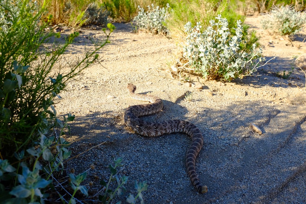
To get to the other side.
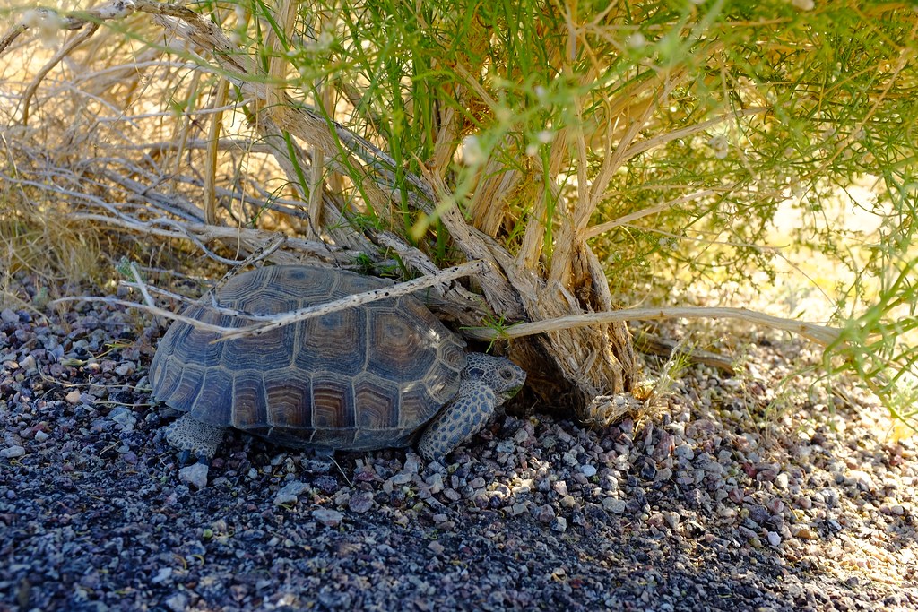
Desert tortoise.
It’s all very nice, but better suited for a WR250R rather than a Versys 650.
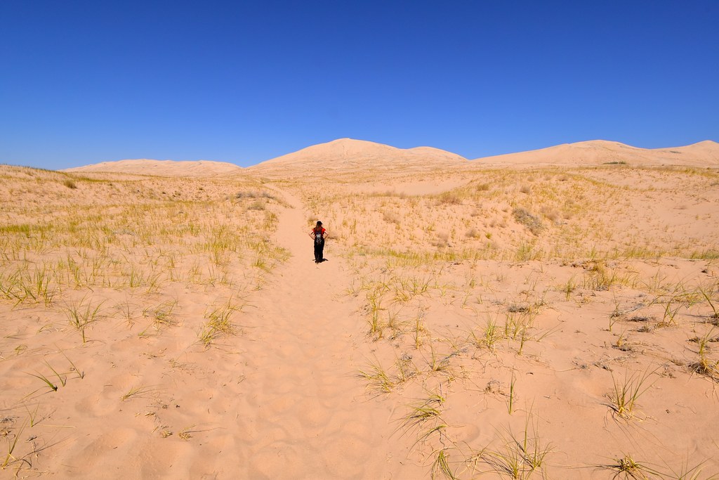
Kelso dunes. The summit is much further than it appears and the going is slow in soft sand.
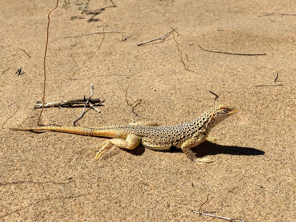
Mojave Fringe-toed Lizard

The heat is on and we’re leaving the dunes before it hits 11 am.
Mojave National Preserve also has Joshua trees!
After a lengthy lunch and 2 horchata refills we headed back to camp, via Cedar Canyon Rd and Black Canyon Rd. Met another rattlesnake. Observed amazing views.

A much more menacing rattlesnake on the way back into camp.
A very useful sign. No water at this time though.
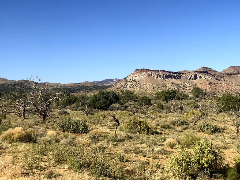
The desert is so much greener at higher elevation!
Black Canyon Road leading back to Hole-in-the-Wall.
The night this time was lot rougher. We tied the tent to some large rocks since stakes could not be put into the hard ground, but by morning the tent was still bending under severe 60 mph gusts. After reviewing what we could do in the remaining two days of the trip, we figured that packing up and heading home a day early was perhaps the best thing to do. Trying to pack our tent and sleeping gear with the unrelenting wind still blowing through the area was quite a challenge. Instead of rolling everything neatly as we usually do, this time it was a race to just shove everything in before the wind picks it up and sends it flying across the desert.
Even out of the Mojave Preserve, the winds still continued to torture us on the highway. We decided to take a break and check out the Saxon Aerospace Museum in Boron. The indoor section was closed, but the aircraft exhibited outdoors was still accessible. I asked a lady in the nearby 20 Mule Team Museum if the winds are always like that and which way should we go to get away from them. She was a bit puzzled by my question, shrugged and said that this is a desert, and that’s just how it is.
We passed through a lot of the agricultural areas in the Central Valley and turned into a small road near Coalinga – Los Gatos Creek Road. It was easily the highlight of the day, as everything started to look more and more like the temperate part of California we live in.

California is not just about computers and agriculture, we also have oil fields.

Unripe pistachios.
Fluffy clouds mean one thing: this is not the desert any more.
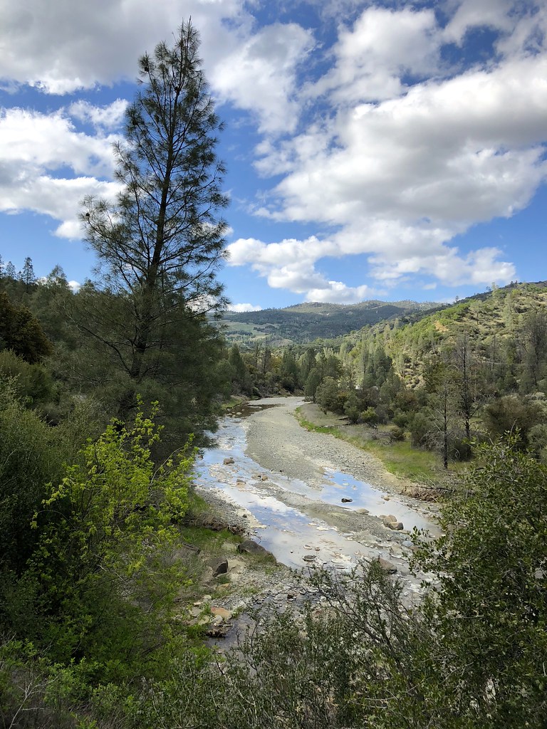
Los Gatos Creek.
We got home with enough time to stop at our favourite bakery and treated ourselves to Indian food for dinner.
No Comments »
No comments yet.