The day was sunny and cool, seemed like a perfect day for a ride up Mount Washington! Not wanting to waste any time, we had a quick breakfast in the hotel and headed back by the familiar roads towards the mountain.
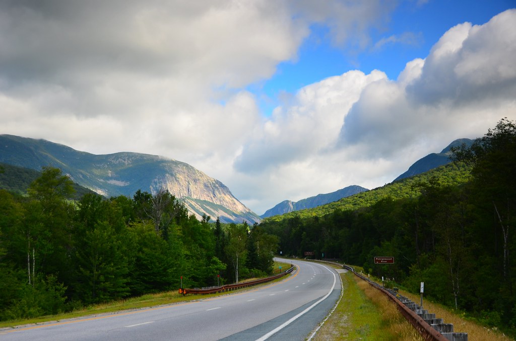
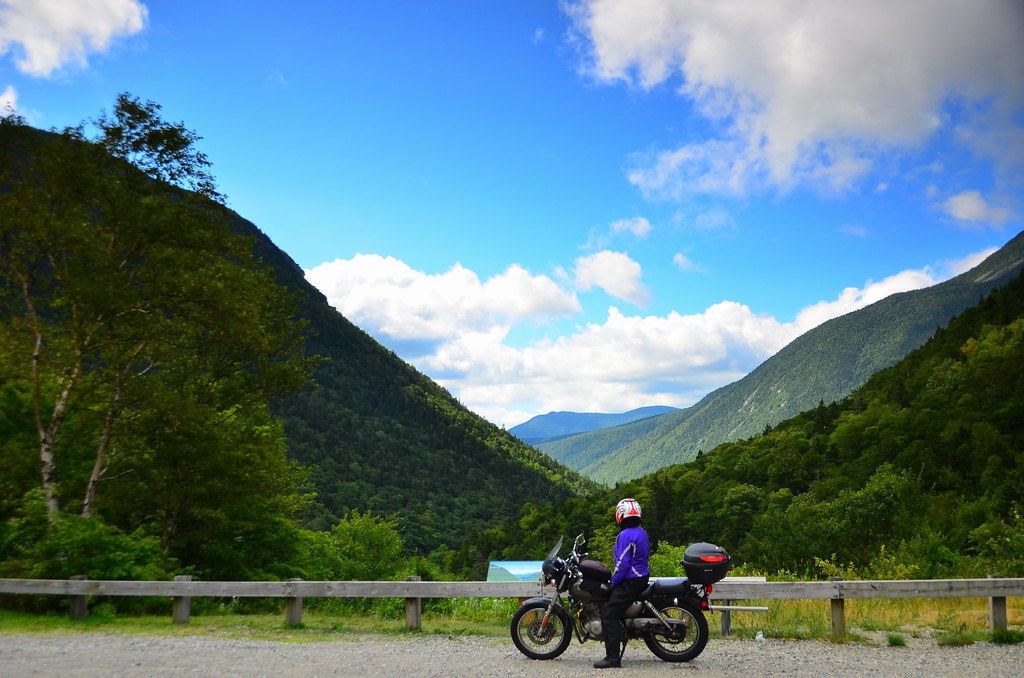
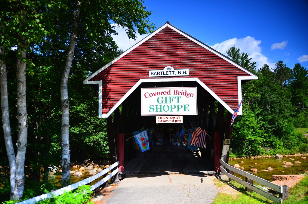
Before reaching the mountain, we made a few stops to take photos, including a few scenic lookouts over the mountains, novelties such as a gift shop set up on a covered bridge, and a family of turkeys, that sat by the road and scattered in the nearby woods when we approached them.

At the gate to Mt Washington road the attendant informed us that visibility at the summit is 50 ft (does not seem like much, and converted to 15 meters it seems even less). Since we were only here for a day, we went up anyway. The ticket to access the road comes bundled with one of those “This bike climbed Mt Washington” stickers, which looks like it was designed by someone’s nephew, so it won’t be sticking around on my bike 😉 All the way until about 1500 m it was a beautiful ride, the air crisp and clear, the views growing more and more magnificent. We stopped a couple of times for pictures, and so far it was not excessively challenging.
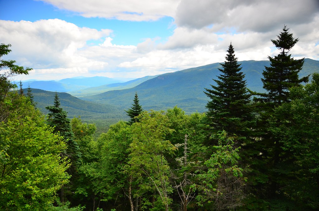
Typical view from Mt Washington road
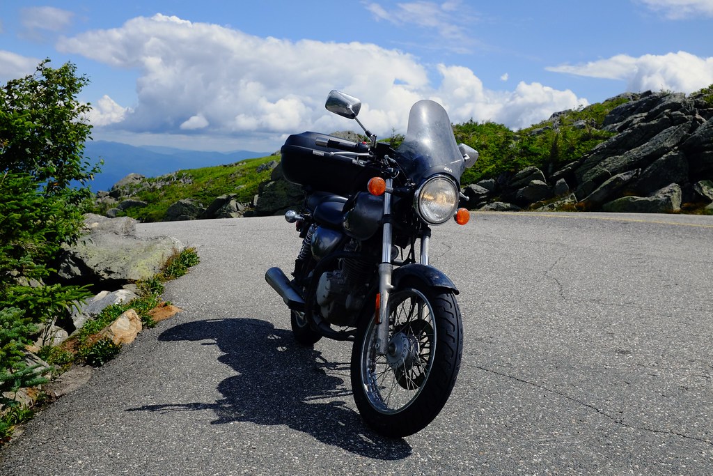
My TU250 basking in the sun.

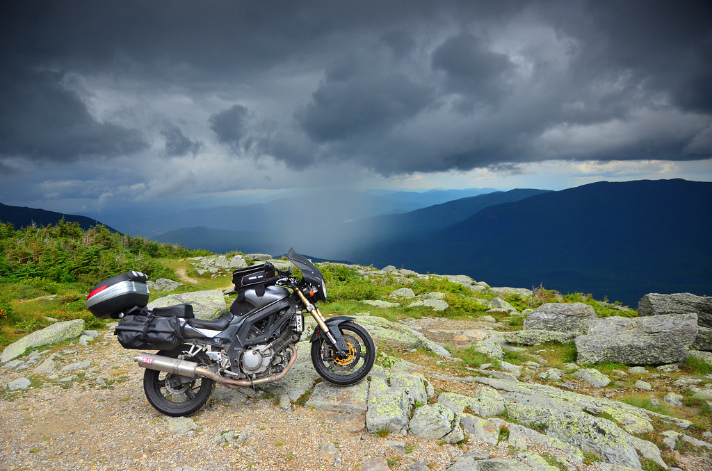
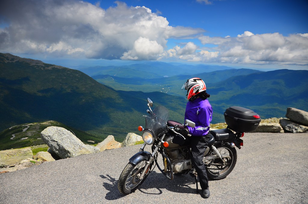
The clouds over the peaks are starting to look suspicious.
On the way up, the extra spaces along the road seem to be lookout points. On the way down, the true meaning emerges: to allow people who ride down on their brakes to cool them off.
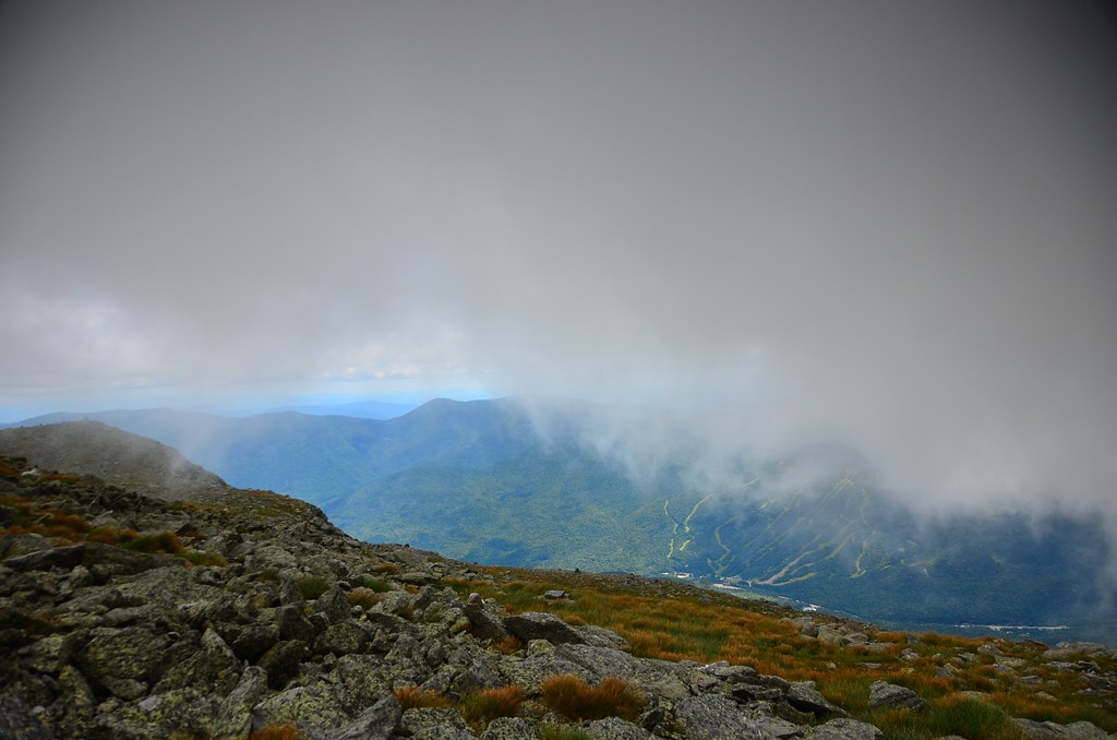
On our last stop before the summit, at a little over 1500 m elevation, the clouds descended and engulfed everything in thick grey mist.
When the landscape got covered by the clouds, we stopped at one of the rest points, took a few pictures and considered waiting a bit to see if it would clear up soon. Alex ventured off along a hiking trail to check out the fragile alpine environment of the mountain, towering over a few other visitors in his helmet and oversized bright red rain jacket. He quickly disappeared into the fog and soon afterwards the Bluetooth comms units got disconnected as well. It felt very disorienting and the few minutes it took for the hikers to re-emerge near the road seemed very long. At one point the fog was so thick, the visibility was only about 10 m, but it improved a little and we continued up towards the summit.
The fog turned into a light drizzle and the road turned from freshly paved asphalt into hard packed dirt. That in itself would not have been a big deal, but the cars travelling ahead of us slowed down way below the posted limit of 20 mph to something like 6-7 mph. Passing is not permitted on this road, by if I kept going at such low speed on these steep slopes, I would stall within a minute, and the thought of trying to start up from zero on the uphill in slippery dirt helped me pass them swiftly.
Once we reached the top, the drizzle stopped, but the fog persisted. At some point we saw a train car higher up near the summit, but after we climbed up the stairs to the true summit the fog thickened and I could no longer even find that train. A sign pointing to the “Observation Deck” seemed like a mean joke, as did the info plaque promising to help you identify the other mountains in the “Presidential Range”. I did not even know that they named a whole range of mountains after different presidents, but hey, at least I learned something, even if I did not get to see them.

The summit of Mt. Washington. According to the sign, the winds here can reach up to 372 km/h! That’s the second highest ever observed on Earth.
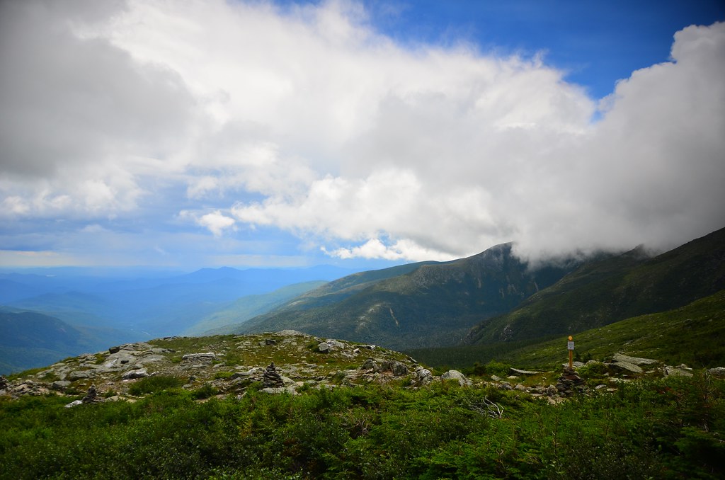
It did not look like the fog would clear up any time soon, it actually started to drizzle again, so we headed back down. Once we were below the clouds, the views opened up in all their majestic glory. We made a few more photos before the rain intensified, and then it was a straight ride down to the base of the mountain. And by straight, I mean it was twisty, wet, slippery, and full of passing slow cars in blind turns.
Mount Washington, after the rain

Light and darkness, infrared
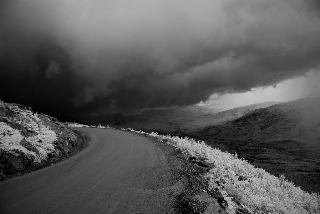
Clouds and road, infrared

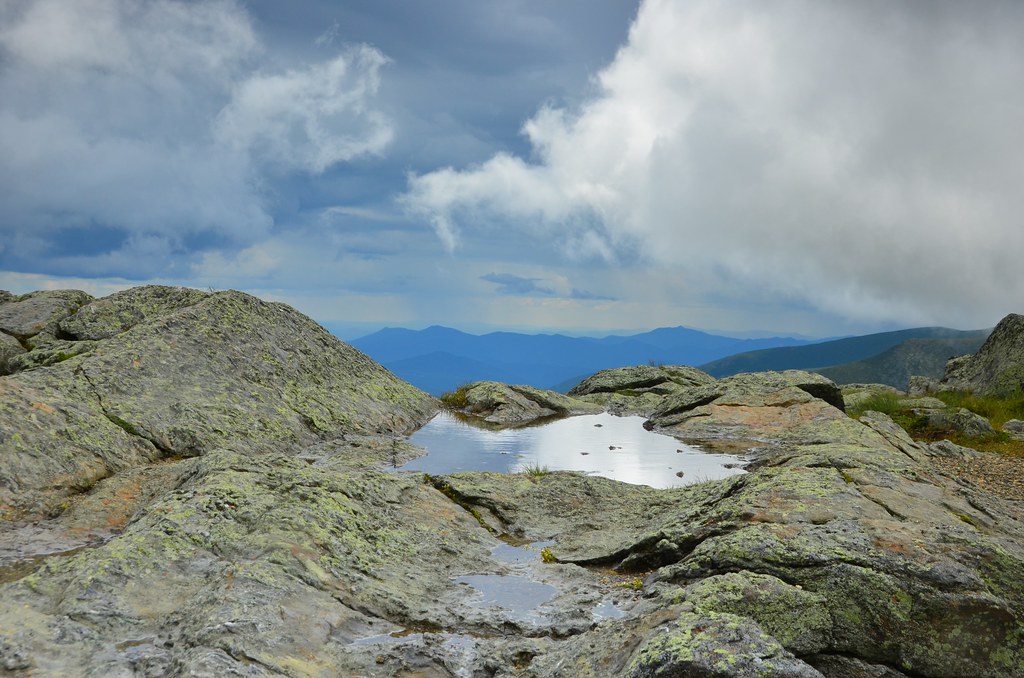
Rock formations on Mt. Washington
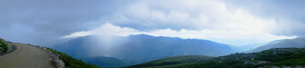
Panoramic view from Mt. Washington road
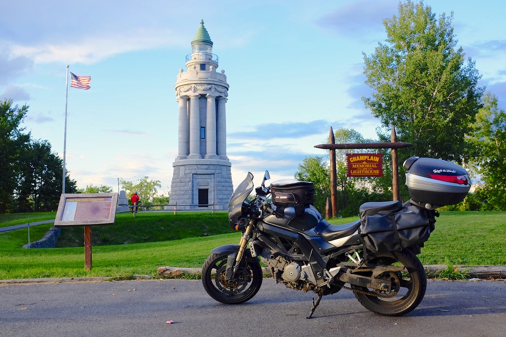
The rain kept pouring. We waited inside the gift shop at the base of the mountain, but there was no end in sight to the wet weather. We headed out in the direction of New York until lunch time, when the weather cleared up and we stopped in a small town for a pizza. We passed Vermont and caught a beautiful light display over the mountains near Lake Champlain. Over the bridge, and we were in New York, enjoying the golden sunlight over the lake and the historic lighthouse.
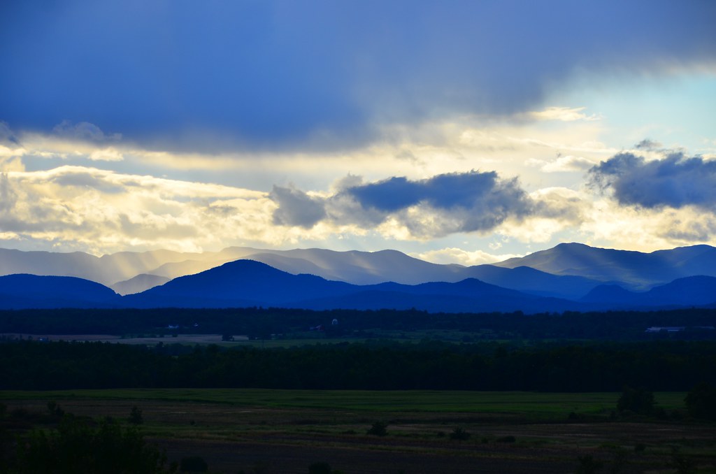
Views in Vermont, looking out towards Adirondack mountains.

Lake Champlain Bridge (freshly opened in 2011)

New York route 22 on the shore of Lake Champlain.

Our target for the night was Lake Placid. The ride was supposed to be quite scenic along highway 73, but it was getting dark fast, for the last hour of riding we could not see anything not lit by the headlights. After a couple of wrong turns and necessary backtracking we finally made it to Lake Placid, our last stop on the trip.
No Comments »
No comments yet.